


les Monceaux

Eve - Line
User

Length
10.8 km

Max alt
171 m

Uphill gradient
169 m
Km-Effort
13.1 km

Min alt
72 m

Downhill gradient
169 m
Boucle
Yes
Creation date :
2024-04-28 07:04:18.369
Updated on :
2024-04-28 09:21:16.367
2h16
Difficulty : Medium

FREE GPS app for hiking
 SityTrail
IGN / Geographical institutes
SityTrail Plus
The world is yours!
About
Trail Walking of 10.8 km to be discovered at Normandy, Calvados, Les Monceaux. This trail is proposed by Eve - Line.
Description
Départ Mairie des Monceaux.
Très belle rando
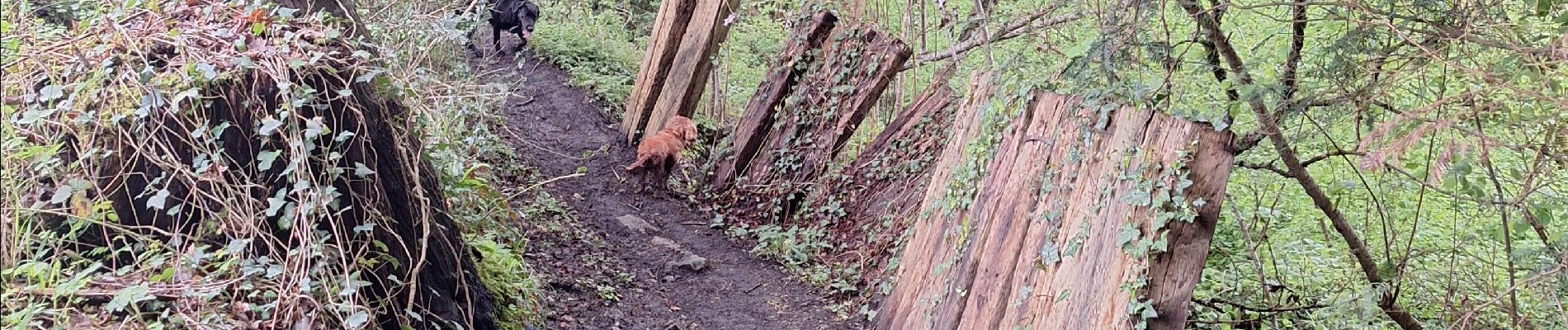
Photos


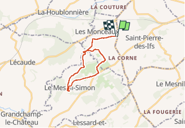
Positioning
Country:
France
Region :
Normandy
Department/Province :
Calvados
Municipality :
Les Monceaux
Location:
Unknown
Start:(Dec)
Start:(UTM)
291174 ; 5444103 (31U) N.
Comments